
Most school safety products are designed for districts with an SRO in the building and four bars of...
Why First Responders Need Room-Level School Maps
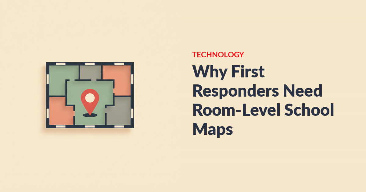
School safety maps give first responders a room-level view of a campus — floor plans, door and stairwell labels, hazards, and during a live incident, the threat location and headcounts — before they walk in. An officer arriving with a street address is arriving blind; an officer arriving with a live map already knows what floor, what room, and what they’re walking into. A growing list of states now requires exactly this.
Quick answer - Responders who’ve never been inside your building need labeled, room-level maps in a format their software can actually open — not a PDF in a drawer. - The same map serves teachers: “east door or west door” is a map question, and it comes up in every real event. - As of 2026, well over a dozen states have passed critical incident mapping legislation or funding. Watch the pricing: per-school map fees of $3-5K are common.
What does a first responder see when they arrive at a school?
Without mapping, a responder sees a street address and a building they may have never entered — and the first minutes go to orientation instead of response. School campuses are hard buildings: wings added across decades, duplicate room numbers, interior courtyards, portable classrooms that appear on no blueprint. Officers from neighboring towns covering a rural district may have never set foot inside at all. As one business manager at a small district put it, “we don’t have our own police and sheriff here, so we share with other towns.”
Compare the two arrivals:
| Arriving blind | Arriving with a live room-level map |
|---|---|
| Street address and a school name | Floor-by-floor plan with labeled rooms, doors, and stairwells |
| “Shots reported at the high school” | A threat pin on the specific wing and room where it was reported |
| No idea which rooms hold people | Live headcounts: which rooms are confirmed safe, which are unaccounted |
| Radio relay through dispatch for every detail | The same picture school leadership is looking at, in real time |
| Entry point chosen by guesswork | Safe entry route chosen off the map |
The difference is measured in minutes, and minutes are the whole game. This is why a Pennsylvania superintendent whose district runs E3 described it as providing “real-time information to first responders that can be used to save lives in a dire situation.”
Why do teachers need the map too?
Because the most common emergency decision in a school isn’t tactical — it’s a teacher choosing a door. E3’s shorthand for this is the Mrs. Johnson question: east door or west door? A notification that says “Lockdown initiated” gives her a sound and a protocol. It doesn’t tell her where the threat was reported, whether her evacuation route passes it, or which exit is clear.
A map that shows staff the threat location changes her decision from a guess to a read. Few systems show threat location to all staff rather than just administrators — when you evaluate platforms, ask specifically who gets to see the pin. The same map then powers accountability: rooms turn green as staff confirm safe, and unaccounted rooms stand out. Pairing the map with digital roll call is what turns “we sent an alert” into “we know the state of every room.”
What does mapping legislation require?
State critical incident mapping laws generally require schools to produce accurate, labeled, digital floor plans and share them with first responders in a format compatible with the software responders already use. As of 2026, well over a dozen states — a list that includes Florida, Texas, New Jersey, Virginia, Kentucky, Georgia, West Virginia, and Louisiana, among others — have passed mapping legislation or funded statewide mapping programs, and more introduce bills each session.
Common requirements across these laws:
- Site-verified accuracy — maps validated by a physical walkthrough, not drawn from old blueprints.
- Standard labeling — room numbers, hallway names, exterior door and stairwell numbers, utility shutoffs, AEDs.
- Compatibility — data that opens in public-safety and NG9-1-1 platforms, not a locked proprietary format.
- Sharing and updating — maps delivered to local responders and kept current as buildings change.
Several states attach grant money: Georgia’s program funded mapping per school through FY 2026, and Louisiana’s 2025 grant program pairs funding with walkthrough-verification requirements. This is a fast-moving area — one district safety coordinator told us flatly, “there’s more and more legislation coming out about our digital mapping.” Check your state’s current statute, and see our state-by-state guide to school digital mapping requirements. Federal planning guidance from the Department of Education’s REMS center also treats site mapping as a core element of a school emergency operations plan (rems.ed.gov).
What makes a map usable in a crisis?
A crisis-usable map is live, shared, and load-bearing — a static PDF in a drawer (or a binder in the front office) satisfies a checkbox, not a response. The test is simple: during an actual lockdown, who is looking at the map, and does it show anything that’s true right now?
A compliance-only map fails that test three ways:
- It’s static. It shows the building, not the incident. No threat location, no room statuses, no headcounts.
- It’s stranded. It lives on a shared drive or in a dispatcher’s file cabinet. The teacher deciding between doors has no access; the officer in the parking lot is waiting for someone to email it.
- It’s stale. Buildings change — a wing renovated, modulars added, room numbers reshuffled. An unmaintained map is worse than none, because it’s trusted.
A usable map is the opposite: room-level and floor-by-floor, visible to every staff member and responder during an event, and overlaid with live data — the threat pin, safe/unconfirmed room states, and exit guidance. The map isn’t documentation. It’s the operating picture.
What do school safety maps cost — and where are the gotchas?
Mapping pricing has one dominant gotcha: the per-school add-on. Some vendors quote an attractive platform price, then add mapping at thousands of dollars per school — commonly in the $3,000–$5,000-per-school range — plus fees when buildings change. For a ten-campus district, the “add-on” quietly doubles the deal.
Questions that surface the real cost:
- Is room-level mapping included in the platform price, or priced per school? (E3 includes Smart Maps in flat district pricing — this varies widely across the market, so ask everyone.)
- Who builds the maps, and who verifies them on-site?
- What does an update cost when you renovate, add modulars, or renumber rooms?
- Do responders pay for access? Free first-responder access removes the biggest adoption barrier on the agency side.
- Does the map data meet your state’s compatibility requirements, or will compliance require a second mapping project later?
If the budget is the blocker, note that mapping is among the most grant-fundable line items in school safety right now — several states fund it directly, and federal programs can apply. Start with our school safety grants guide.
Frequently asked questions
What is critical incident mapping for schools?
Critical incident mapping is the creation of accurate, labeled, digital floor plans of school buildings — rooms, doors, stairwells, hazards, utilities — shared with first responders and verified by walkthrough. A growing number of states require it. The strongest implementations are live during an incident, showing threat location and room-level accountability, not just architecture.
Are schools required to give floor plans to first responders?
In a growing list of states, yes — mapping statutes require schools to produce digital maps and share them with local law enforcement and fire agencies, often in formats compatible with public-safety software. Requirements vary by state and change yearly, so check your state’s current law before assuming you’re covered or exempt.
What’s wrong with giving responders a PDF of our floor plan?
A PDF is better than nothing, but it fails the crisis test: it shows the building, not the incident. It carries no threat location, no live room statuses, and it’s usually stranded on a drive somewhere when seconds matter. Many state laws now explicitly require formats responders’ software can use — which a flat PDF often isn’t.
How much does school safety mapping cost?
It ranges from included-in-platform to $3,000–$5,000 per school as an add-on, plus update fees — the pricing model matters more than the sticker. Ask whether mapping is included, who verifies accuracy on-site, and what updates cost. State mapping grants and federal school-safety programs frequently cover this line item.
Who keeps the maps up to date?
Ownership should be explicit in the contract: buildings change, and a stale map is a liability. Good vendors handle updates as part of the subscription and re-verify after renovations; weak arrangements leave updates as billable projects nobody orders. Ask how modulars, renumbered rooms, and new construction get onto the map, and how fast.
From arriving blind to arriving ready
Every campus already has floor plans somewhere. The question is whether they’re a document or a tool — whether the officer in the parking lot and the teacher at the classroom door see the same live picture, or whether both are guessing.
E3’s Smart Maps put floor-by-floor, room-level maps in front of every staff member and every responder, with the threat pin, safe exits, and live headcounts on one screen — included in flat district pricing, no hardware, and free for first-responder agencies. It’s a core reason E3 runs in 1,000+ schools and districts. Book a demo and see your own building the way a responder should.